• Home
  • Search
  • Browse All Resources
  • My Account
  • About
  • DC Network Digital Commons Network™
Skip to main content
MavMatrix University of Texas at Arlington MavMatrix
  • Home
  • About
  • FAQ
  • My Account
  1. Home
  2. >
  3. UTA Libraries
  4. >
  5. Special Collections
  6. >
  7. Cartography Collection
  8. >
  9. Maps of Africa

Maps of Africa

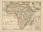
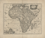
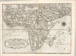
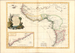
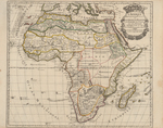
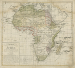
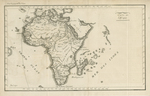
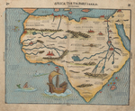
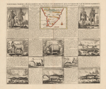
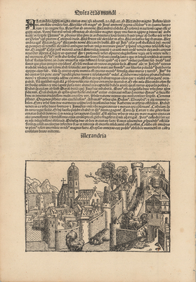
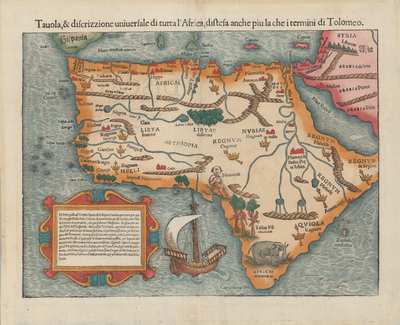
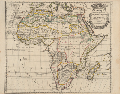
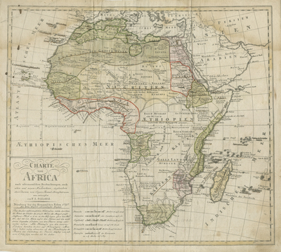
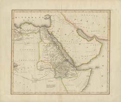
This is a growing collection, currently over 500 items, which began in 2017 by donor Dr. Jack Franke (UTA Distinguished Alumnus in Liberal Arts for 2005, UTA class of 1987). The earliest items in the collection are African city views from the Nuremberg Chronicle of 1493 and one of the latest items is a map of Africa in Braille. There are a wide variety of maps, including 16th-century Ptolemaic-style maps of North Africa, general maps of Africa, regional maps of Africa, African city views, cartes à figures (maps surrounded by vignettes of costumed peoples and cities), images of forts, maps with images of animals. Accompanying the collection is a small but growing collection of illustrated rare books relating to Africa with a particular emphasis on Western Africa. Materials provided by Special Collections and Archives at the University of Texas at Arlington.
Printing is not supported at the primary Gallery Thumbnail page. Please first navigate to a specific Image before printing.
Follow

Switch View to List View Slideshow
 
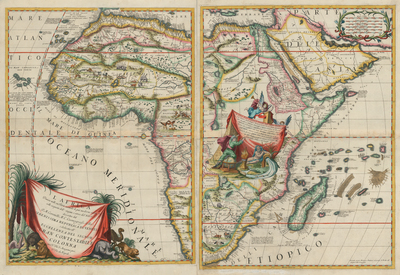
  • L'Africa divisa nelle sue Parti... by Vincenzo Maria Coronelii

    L'Africa divisa nelle sue Parti...

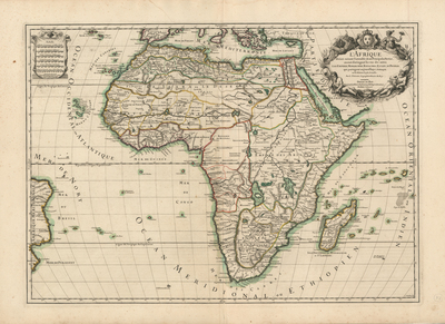
  • L'Afrique divisée suivant l'estendue de ses principales parties... by Alexis Hubert Jaillot

    L'Afrique divisée suivant l'estendue de ses principales parties...

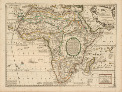
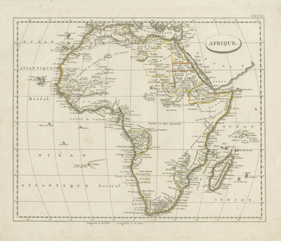
  • Afrique by Jean Nicolas Du Tralage and Vincenzo Coronelii

    Afrique

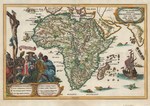
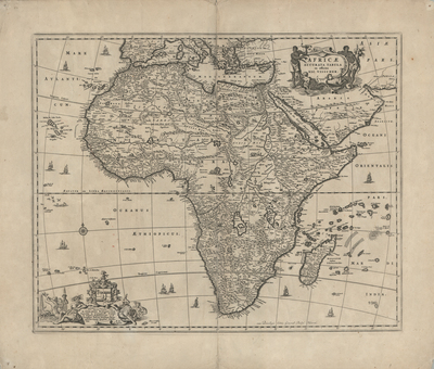
  • Africae Accurata Tabula by Nicolaes Visscher

    Africae Accurata Tabula

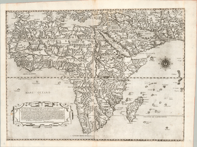
  • La Descrittione dell'Africa by Paolo Forlani and Giacomo Gastaldi

    La Descrittione dell'Africa

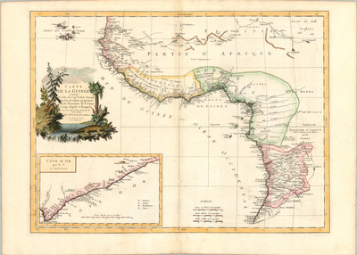
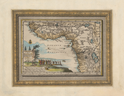
  • Carte de la Guinée contenant les Isles du Cap Verd, le Senegal, la Côte de Guinée proprement die, les Royaumes de Loango, Congo, Angola et Benguela ... [and inset:] Côte d'Or par le Sr. D'Anville by Paolo Santini and Rigobert Bonne

    Carte de la Guinée contenant les Isles du Cap Verd, le Senegal, la Côte de Guinée proprement die, les Royaumes de Loango, Congo, Angola et Benguela ... [and inset:] Côte d'Or par le Sr. D'Anville

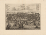
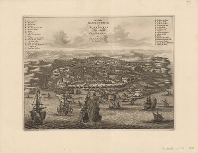
  • De Stadt Alexandrie of Scanderik / La Ville de Alexandrie ou Scanderik, en Egypte, by Pieter Von de Aa

    De Stadt Alexandrie of Scanderik / La Ville de Alexandrie ou Scanderik, en Egypte,

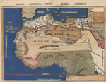
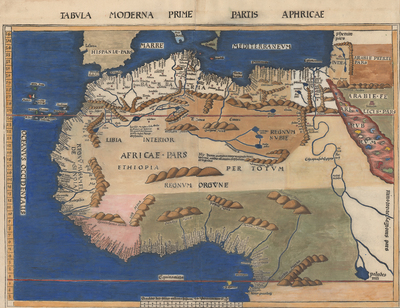
  • Tabula Moderna Primae Partis Aphricae by Martin Waldseemüller

    Tabula Moderna Primae Partis Aphricae

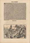
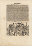
  • Alexandria by Michael Wohlgemut and Hartmann Schedel

    Alexandria

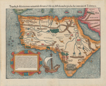
  • Tavola & discrizzione universale di tutta l'Africa, distesa anche piu la che i termini di Tolomeo by Sebastian Münster

    Tavola & discrizzione universale di tutta l'Africa, distesa anche piu la che i termini di Tolomeo

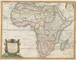
  • L'Afrique divisée en ses Principales Parties by Nicolas Sanson

    L'Afrique divisée en ses Principales Parties

  • Charte von Africa by Franz Ludwig Güßefeld

    Charte von Africa

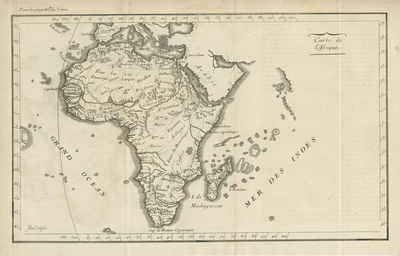
  • Carte de l'Afrique by Abbé Nicolas Lenglet-Dufresnoy

    Carte de l'Afrique

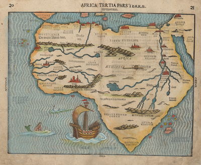
  • Africa Tertia Pars Terrae by Heinrich Bünting

    Africa Tertia Pars Terrae

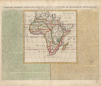
  • Carte de L'Afrique selon les auteurs anciens enrichie de remarques historiques by Henri Abraham Chatelain

    Carte de L'Afrique selon les auteurs anciens enrichie de remarques historiques

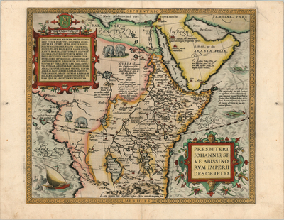
  • Presbiterii Johannis, sive Abissinorum Imperrii Descriptio by Abraham Ortelius

    Presbiterii Johannis, sive Abissinorum Imperrii Descriptio

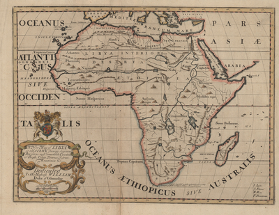
  • A New Map of Libya or Old Africk Shewing Its General Divisions, Most Remarkable Countries or People, Cities...&c. Dedicated to his Highness William Duke of Gloucester by Edward Wells

    A New Map of Libya or Old Africk Shewing Its General Divisions, Most Remarkable Countries or People, Cities...&c. Dedicated to his Highness William Duke of Gloucester

  • Andries Battels Scheeptogt na Brasile; door een XVIII Jarige Gevangenschap, in d'Africaanse gewesten van Angola en Loango Voleynde by Pieter Von der Aa

    Andries Battels Scheeptogt na Brasile; door een XVIII Jarige Gevangenschap, in d'Africaanse gewesten van Angola en Loango Voleynde

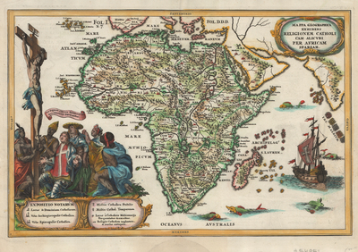
  • Mappa Geographica exhibens Religionem Catholicam alicubi per Africam sparsam by Heinrich Scherer

    Mappa Geographica exhibens Religionem Catholicam alicubi per Africam sparsam

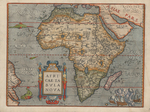
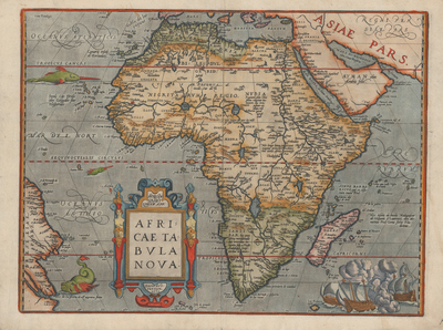
  • Africae Tabula Nova by Abraham Ortelius

    Africae Tabula Nova

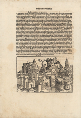
  • Damiata by Michael Wohlgemut and Hartmann Schedel

    Damiata

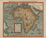
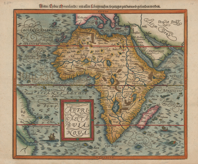
  • Africae Tabula Nova / Africa, Lybia, Morenlandt, mit allen Konigreichen so jetziger Zeit darumb gefunden werden by Sebastian Henrcipetri and Sebastian Münster

    Africae Tabula Nova / Africa, Lybia, Morenlandt, mit allen Konigreichen so jetziger Zeit darumb gefunden werden

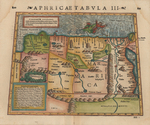
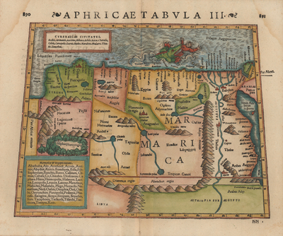
  • Aphricae Tabula III by Sebastian Münster

    Aphricae Tabula III

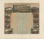
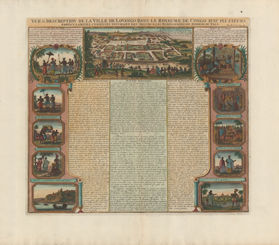
  • Vue & Description de la Ville de Lovango dans le Royaume de Congo avec plusieurs particularitez curieuses touchant les moeurs & les habillemens des Indiens du pais by Henri Abraham Chatelain

    Vue & Description de la Ville de Lovango dans le Royaume de Congo avec plusieurs particularitez curieuses touchant les moeurs & les habillemens des Indiens du pais

  • L'Afrique by Pierre Du Val

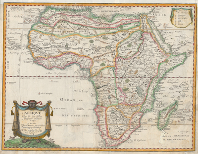
    L'Afrique

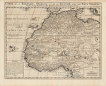
  • Carte de la Barbarie, Nigritie et de la Guinée, avec les Pays Voisins by Henri Abraham Chatelain

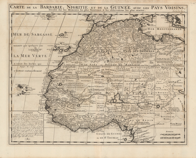
    Carte de la Barbarie, Nigritie et de la Guinée, avec les Pays Voisins

  • Coutumes Moeurs & Habillemens des Peuples qui Habitent aux Environs du Cap de Bonne Esperance, avec une descripcion des animaux et reptiles qui se trouve dans de pais by Henri Abraham Chatelain

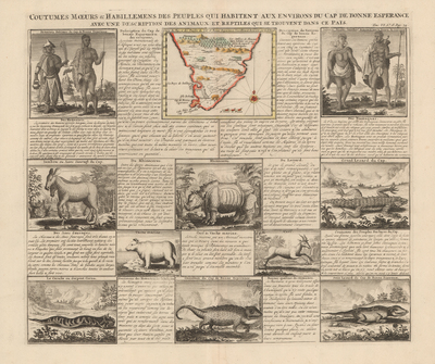
    Coutumes Moeurs & Habillemens des Peuples qui Habitent aux Environs du Cap de Bonne Esperance, avec une descripcion des animaux et reptiles qui se trouve dans de pais

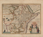
  • Aethiopia Superior vel Interior, vulge Abissinorum sive Prespiteri Joannis Imperium by Willem Janszoon Blaeu

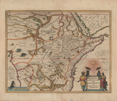
    Aethiopia Superior vel Interior, vulge Abissinorum sive Prespiteri Joannis Imperium

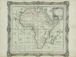
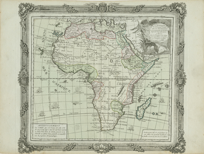
  • L'Afrique Dreßée pour l'étude de la Géographie by Louis Brion de la Tour

    L'Afrique Dreßée pour l'étude de la Géographie

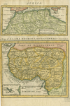
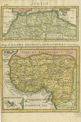
  • Barbary and Buildulgerid [and] A Map of Zaara, Negro-Land, Guinea &c. by Herman Moll

    Barbary and Buildulgerid [and] A Map of Zaara, Negro-Land, Guinea &c.

  • Novissima et Perfectissima Africae Descriptio ex formis Caroli Allard by Carel Allard

    Novissima et Perfectissima Africae Descriptio ex formis Caroli Allard

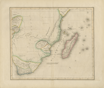
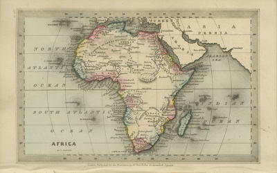
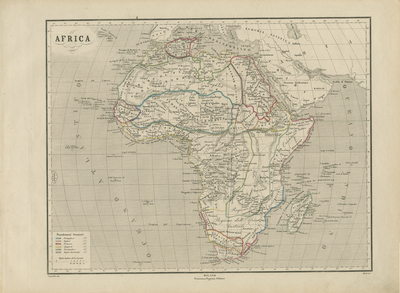
  • Africa by W. H. (William Home) Lizars and Daniel Lizars

    Africa

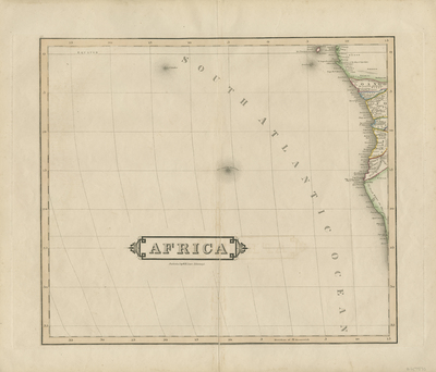
  • Africa by W. H. (William Home) Lizars and Daniel Lizars

    Africa

  • Africa by W. H. (William Home) Lizars and Daniel Lizars

    Africa

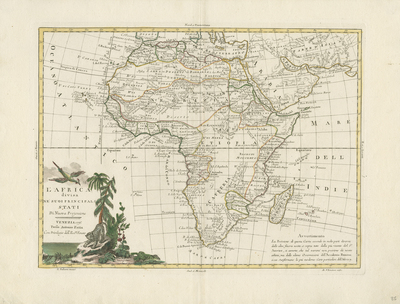
  • L'Africa divisa Ne' Suoi Principali Stati Di Nuova Projezione...1776 by Antonio Zatta

    L'Africa divisa Ne' Suoi Principali Stati Di Nuova Projezione...1776

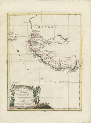
  • La Guinea Occidentale che contiene Le Isole Di Capo Verde Il Senegal La Costa Propriamente Dlla Guinea… 1794 by Antonio Zatta

    La Guinea Occidentale che contiene Le Isole Di Capo Verde Il Senegal La Costa Propriamente Dlla Guinea… 1794

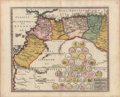
  • Mauretania et Numidia by Christoph Weigel and Johann Köhler

    Mauretania et Numidia

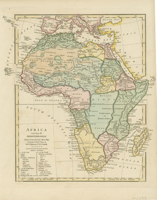
  • Africa including the Mediterranean by Robert Wilkinson

    Africa including the Mediterranean

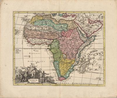
  • Africa Tabula by Christoph Weigel

    Africa Tabula

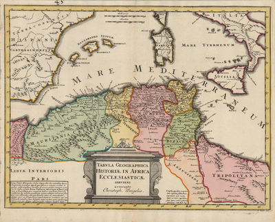
  • Tabula Geographica Historiae in Africa Ecclesiasticae by Christoph Weigel

    Tabula Geographica Historiae in Africa Ecclesiasticae

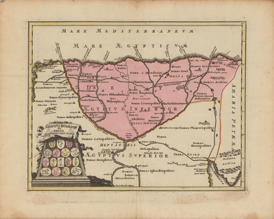
  • Aegyptus, inferior sive delta, curante Christophoro Weigelio. cum P. S. C. M. by Christoph Weigel and Johann Köhler

    Aegyptus, inferior sive delta, curante Christophoro Weigelio. cum P. S. C. M.

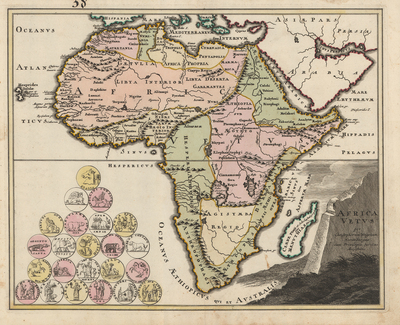
  • Africa vetus per Christophorum Weigelium Norimbergae cum privilegia sac. caes. Majestatis by Christoph Weigel and Johann Köhler

    Africa vetus per Christophorum Weigelium Norimbergae cum privilegia sac. caes. Majestatis

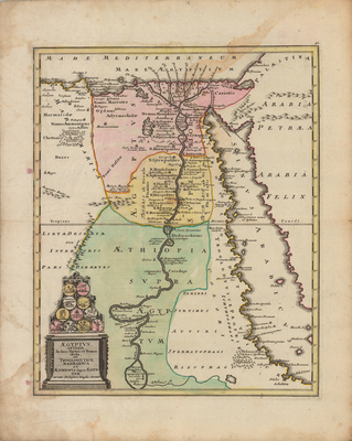
  • Aegyptus, antiqua in suas partes et nomos divisa, cum Troglodytice, Marmarica et Aethiopia supra Aegyptum curante Christophoro Weigelio. Norimb by Christoph Weigel and Johann Köhler

    Aegyptus, antiqua in suas partes et nomos divisa, cum Troglodytice, Marmarica et Aethiopia supra Aegyptum curante Christophoro Weigelio. Norimb

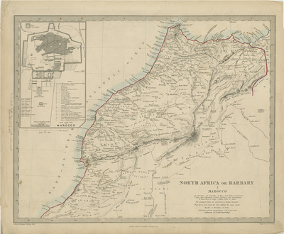
  • North Africa or Barbary I Marocco by Society for the Diffusion of Useful Knowledge, J. Walker, C. Walker, and Edward Stanford Ltd.

    North Africa or Barbary I Marocco

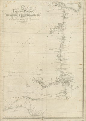
  • Map of the Travels and Discoveries Made in Northern and Central Africa by J. Walker

    Map of the Travels and Discoveries Made in Northern and Central Africa

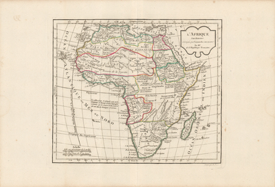
  • L'Afrique par Robert de Vaugondy revue et corrigé par C.F. Delamarche son successor by Didier Robert de Vaugondy and Charles François Delamarche

    L'Afrique par Robert de Vaugondy revue et corrigé par C.F. Delamarche son successor

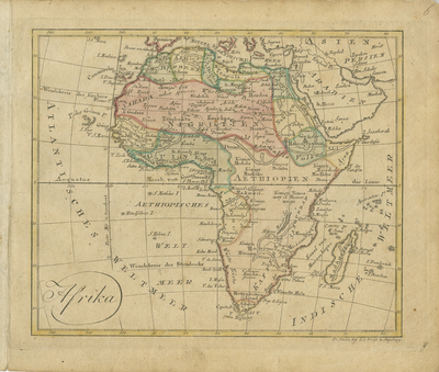
  • Afrika by Johannes Walch

    Afrika

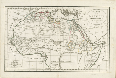
  • Carte De L’Afrique Septentrionale by Didier Robert de Vaugondy and Charles François Delamarche

    Carte De L’Afrique Septentrionale

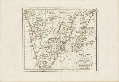
  • Congo, Cafrerie by Didier Robert de Vaugondy and Charles François Delamarche

    Congo, Cafrerie

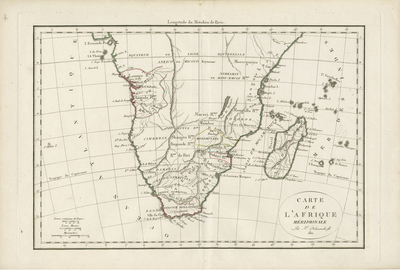
  • Carte de L’Afrique Meridionale by Didier Robert de Vaugondy and Charles François Delamarche

    Carte de L’Afrique Meridionale

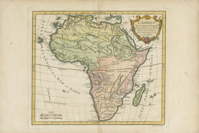
  • L’Afrique by Didier Robert de Vaugondy

    L’Afrique

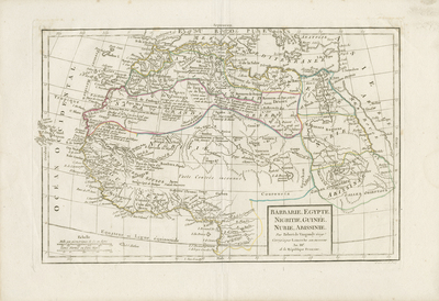
  • Barbarie, Egypte, Nigritie, Guinée, Nubie, Abissinie by Didier Robert de Vaugondy and Charles François Delamarche

    Barbarie, Egypte, Nigritie, Guinée, Nubie, Abissinie

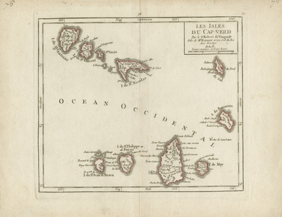
  • Les Isles du Cap-Verd by Didier Robert de Vaugondy

    Les Isles du Cap-Verd

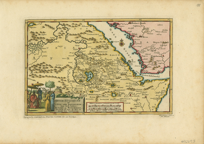
  • Opper-Ethiopien of 't Ryk der Abyssinen door de e. Vaders H. Lobo en M. Almeida bereyst, en met de Nyl en Roode Zee beschreven. by Pieter van der Aa, Jeronimo Lobo, and Manuel Almeida

    Opper-Ethiopien of 't Ryk der Abyssinen door de e. Vaders H. Lobo en M. Almeida bereyst, en met de Nyl en Roode Zee beschreven.

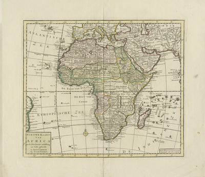
  • Nieuwe Kaart van Africa by Isaak Tirion

    Nieuwe Kaart van Africa

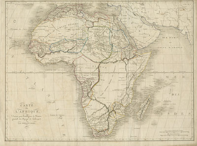
  • Carte de l’Afrique by Ambroise Tardieu

    Carte de l’Afrique

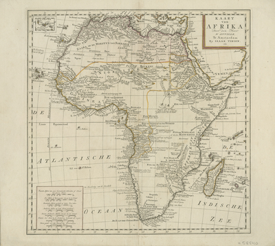
  • Kaart van Afrika Door von Heer D'Anville...1763 by Isaak Tirion

    Kaart van Afrika Door von Heer D'Anville...1763

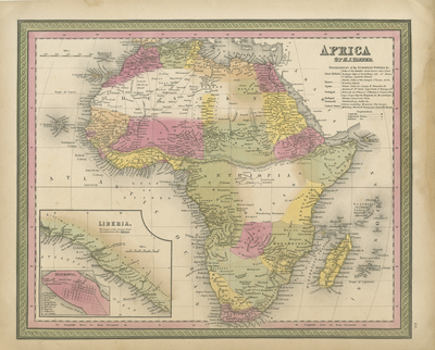
  • Africa by Henry Tanner

    Africa

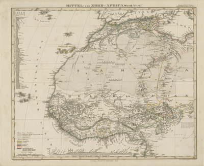
  • Mittel und Nord Afrika by F. von Stülpnagel

    Mittel und Nord Afrika

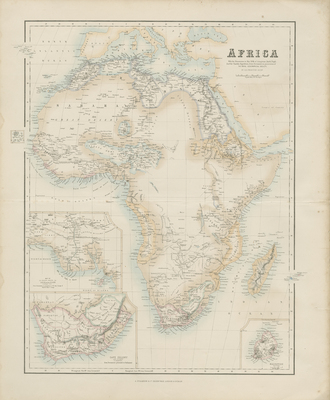
  • Africa, with the discoveries to May 1858 of Livingstone, Barth, Vogel, & of the Chadda Expedition from Documents in possession of the Royal Geographical Society by George H. Swanston and Archibald Fullarton

    Africa, with the discoveries to May 1858 of Livingstone, Barth, Vogel, & of the Chadda Expedition from Documents in possession of the Royal Geographical Society

  • Afrika. von F. v. Stulpnagel by F. von Stülpnagel

    Afrika. von F. v. Stulpnagel

  • Southern Africa by Thomas Starling

    Southern Africa

  • Western Africa by Thomas Starling

    Western Africa

  • Africa by Thomas Starling

    Africa

  • Egypt by Thomas Starling

    Egypt

  • Africa seit Anfang des XVten Jahrhundert's by Karl Spruner von Merz

    Africa seit Anfang des XVten Jahrhundert's

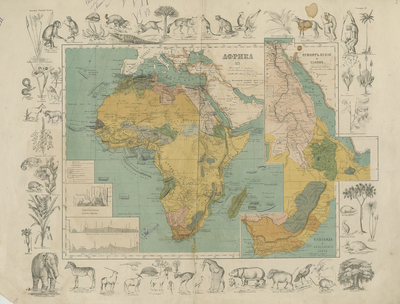
  • Afrika [Russian] by Otto Spammer

    Afrika [Russian]

  • Lake Tanganyika from a Survey by Mr. Edw. C. Hore, Master Mariner of the London Missionary Society by H. (Henry) Sharbau and E. Weller

    Lake Tanganyika from a Survey by Mr. Edw. C. Hore, Master Mariner of the London Missionary Society

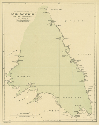
  • The Southern Part of Lake Tanganyika (Lake Liemba of Dr. Livingstone) From a Survey by Mr. Edw. C. Hore, Master Mariner of the London Missionary Society by H. (Henry) Sharbau and E. Weller

    The Southern Part of Lake Tanganyika (Lake Liemba of Dr. Livingstone) From a Survey by Mr. Edw. C. Hore, Master Mariner of the London Missionary Society

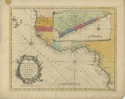
  • A New and Correct Map of the Coast of Africa from Cape Blanco to the Coast of Angola: Exhibiting all the European Forts and Settlements by Richard William Seale

    A New and Correct Map of the Coast of Africa from Cape Blanco to the Coast of Angola: Exhibiting all the European Forts and Settlements

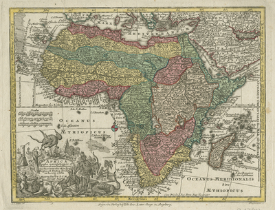
  • Africa juxta navigationes et observat recentillimas by Matthäeus Setteur

    Africa juxta navigationes et observat recentillimas

  • Africa verfertiget von John George Schreibern in Leipzig by Johann Georg Schreiber

    Africa verfertiget von John George Schreibern in Leipzig

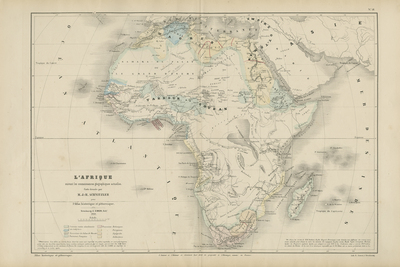
  • L'afrique suivant les connaissances géographiques actuelles by J.-H. (Jean-Henri) Schnitzler

    L'afrique suivant les connaissances géographiques actuelles

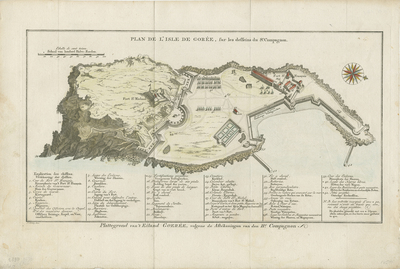
  • Plan de l' Isle de Gorée, sur les desseins du Sr. Compagnon by Jacobus Van der Schley

    Plan de l' Isle de Gorée, sur les desseins du Sr. Compagnon

  • Mappa Geographica Exhibens Religionem Catholicam Alicubi Per Africam Sparsam by Heinrich Scherer

    Mappa Geographica Exhibens Religionem Catholicam Alicubi Per Africam Sparsam

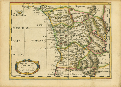
  • T Koninkryk van Congo, enz by Nicolas Sanson

    T Koninkryk van Congo, enz

  • 'T Gedeelte van Barbaryen waar in Leggen de Ryken van Tunis en Tripoli, Getrokken uit Sanutus en Anderen by Nicolas Sanson and Anthoine de Winter

    'T Gedeelte van Barbaryen waar in Leggen de Ryken van Tunis en Tripoli, Getrokken uit Sanutus en Anderen

  • 'T Eilandt van Madagascar of van St. Laurens. by Nicolas Sanson

    'T Eilandt van Madagascar of van St. Laurens.

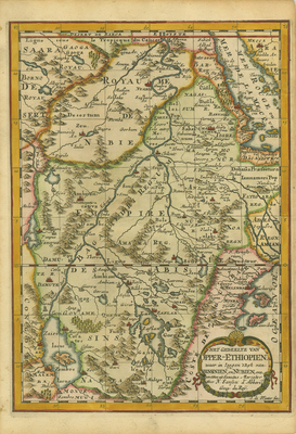
  • Het Gedeelte van Opper-Ethiopien. Waar in Leggen 't Ryk van Abissinien, en Nubien, enz. Getrokken uit Sanutus Mercator by Nicolas Sanson and Anthoine de Winter

    Het Gedeelte van Opper-Ethiopien. Waar in Leggen 't Ryk van Abissinien, en Nubien, enz. Getrokken uit Sanutus Mercator

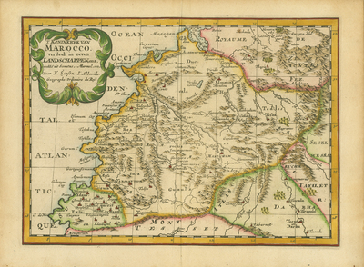
  • T Koninkryk van Marocco. Verdeelt in Zeven Landschappen, Enz… by Nicolas Sanson and Anthoine de Winter

    T Koninkryk van Marocco. Verdeelt in Zeven Landschappen, Enz…

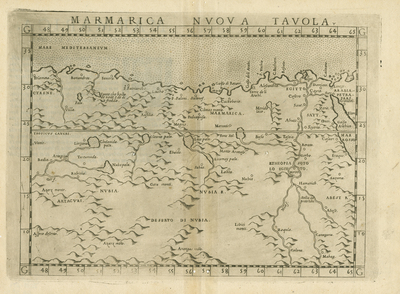
  • Marmarica Nvova Tavola by Girolamo Ruscelli and Claudius Ptolemy

    Marmarica Nvova Tavola

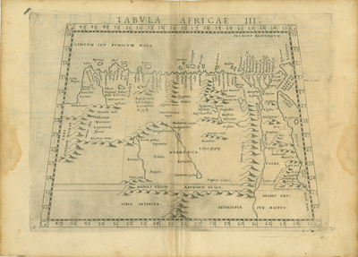
  • Tabula Africae III by Girolamo Ruscelli and Claudius Ptolemy

    Tabula Africae III

  • Egitto Nuova Tavola by Girolamo Ruscelli

    Egitto Nuova Tavola

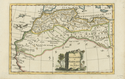
  • An Accurate Map of Barbary by George Rollos

    An Accurate Map of Barbary

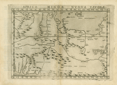
  • Africa Minor Nuova Tabula by Girolamo Ruscelli and Claudius Ptolemy

    Africa Minor Nuova Tabula

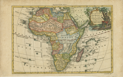
  • An Accurate Map of AFRICA from the latest Improvements and Regulated by Astronomical Observations by R. Reynolds

    An Accurate Map of AFRICA from the latest Improvements and Regulated by Astronomical Observations

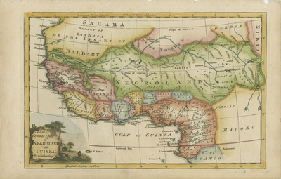
  • A New & Correct Map of Negroland and Guinea, by G. Rollos Geogr by George Rollos

    A New & Correct Map of Negroland and Guinea, by G. Rollos Geogr

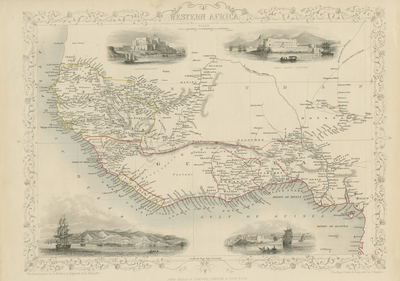
  • Western Africa by J. Rapkin and London Printing and Publishing Company

    Western Africa

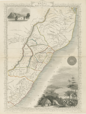
  • Natal and Kaffraria by J. Rapkin

    Natal and Kaffraria

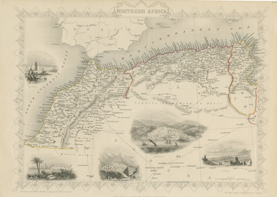
  • Northern Africa by J. Rapkin

    Northern Africa

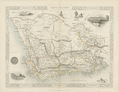
  • Cape Colony by J. Rapkin

    Cape Colony

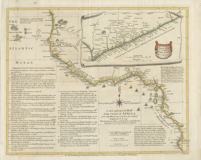
  • A New and Correct Map of the Coast of Africa from Cape Blance to the Coast of Angola with Explanatory Notes of all the Forts and settlements belonging to the several European Powers by Malachy Postlethwayt and William Seale

    A New and Correct Map of the Coast of Africa from Cape Blance to the Coast of Angola with Explanatory Notes of all the Forts and settlements belonging to the several European Powers

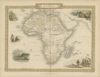
  • Africa by J. Rapkin

    Africa

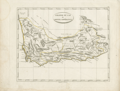
  • Colonie du cap de Bonne Esperance by John Pinkerton

    Colonie du cap de Bonne Esperance

  • S. Lorenzo by Thomaso Porcacchi

    S. Lorenzo

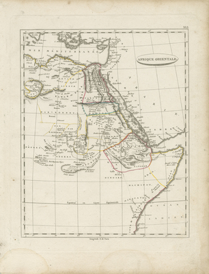
  • Afrique Orientale by John Pinkerton

    Afrique Orientale

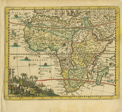
  • Africae by Jacques Peeters

    Africae

  • Afrique by John Pinkerton

    Afrique

  • Africa by Filippo Naymiller

    Africa

  • Africae Tabula Nova by Abraham Ortelius and Pietro Maria Marchetti

    Africae Tabula Nova

 
  • 1
  • 2
  • 3


Search

Advanced Search

  • Notify me via email or RSS

Browse

  • All Resources
  • Disciplines
  • Creators
  • UTA Libraries Events

Author & Creator Corner

  • Author & Creator FAQs

Contact the MavMatrix Accessibility Coordinator if you require an accessible and/or alternative version of the file available with any item.

 
Elsevier - Digital Commons

Home | About | FAQ | My Account | Accessibility Statement

Privacy Copyright

© 2023 The University of Texas at Arlington