


Preview
Identifier
20088041
Description
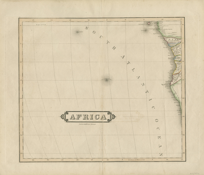
Uncolored map of western African coast and south Atlantic ocean. Third map in set of four; double-paged, single-sided, horizontal. Title cartouche located along centrefold on lower portion of map. Publisher information listed underneath title cartouche. Border surrounding map includes scale. No key provided. Partial regions along western coast delineated with color. Hachures depicted off coast(s). Surrounding islands of Africa included. 89 cm. x 75 cm. [Gift of Dr. Jack Franke]
Archival Date
1825
Collection Name
Maps of Africa
Collection Number
Acc. 2019-152
Language
English
Original Format
Maps
File Format
JPG
Rights
Rights held by The University of Texas at Arlington Libraries, Special Collections. Any use of content downloaded or printed from this page is limited to non-commercial personal or educational use, including fair use as directed by U.S. copyright laws. For more information or for reproduction requests, please contact UTA Special Collections by emailing spcoref@uta.edu.
License

This work is licensed under a Creative Commons Attribution-NonCommercial 4.0 International License
Subjects
Maps; Africa; Coastlines; Islands; Cartouches (Graphic)