


Preview
Identifier
20086398
Description
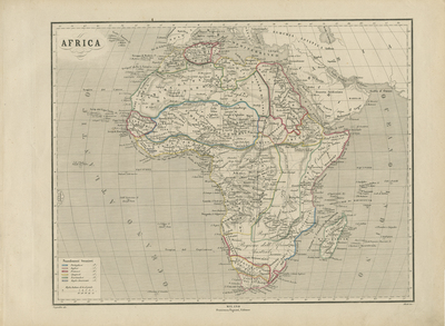
Continental map of Africa in mid 1860's. European colonies delineated with outline color. Single-paged, single sided map with visible signs of aging. 32 cm. x 45 cm. [Gift of Dr. Jack Franke]
Archival Date
1865
Collection Name
Maps of Africa
Collection Number
Acc. 2019-398
Language
Italian
Original Format
Maps
File Format
JPG
Rights
Rights held by The University of Texas at Arlington Libraries, Special Collections. Any use of content downloaded or printed from this page is limited to non-commercial personal or educational use, including fair use as directed by U.S. copyright laws. For more information or for reproduction requests, please contact UTA Special Collections by emailing spcoref@uta.edu.
License

This work is licensed under a Creative Commons Attribution-NonCommercial 4.0 International License
Subjects
Maps; Africa; Waterways; Mountains; Colonies