• Home
  • Search
  • Browse All Resources
  • My Account
  • About
  • DC Network Digital Commons Network™
Skip to main content
MavMatrix University of Texas at Arlington MavMatrix
  • Home
  • About
  • FAQ
  • My Account
  1. Home
  2. >
  3. UTA Libraries
  4. >
  5. Special Collections
  6. >
  7. Cartography Collection
  8. >
  9. Cartographic Connections

Cartographic Connections

The following collection contains scanned maps that were previously hosted on the Cartographic Connections LibGuide website. This collection primarily serves as a teaching collection with a variety of maps from different geographic regions and time periods. These scans were migrated to UTA's Institutional Repository in 2026 for improved accessibility. The former Cartographic Connections LibGuide page has been disabled, but all of its contextual text and metadata has been copied and preserved here.
Printing is not supported at the primary Gallery Thumbnail page. Please first navigate to a specific Image before printing.
Follow

Switch View to List View Slideshow
 
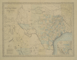
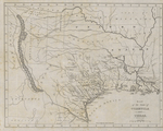
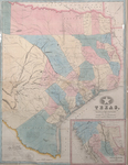
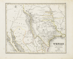
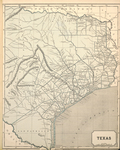
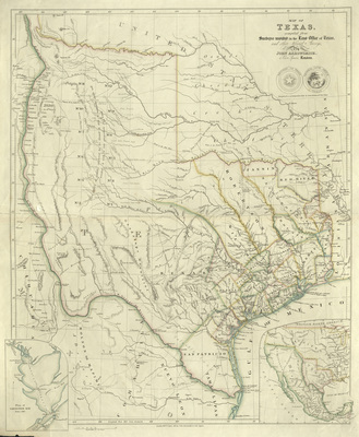
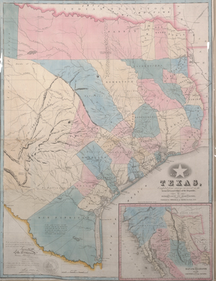
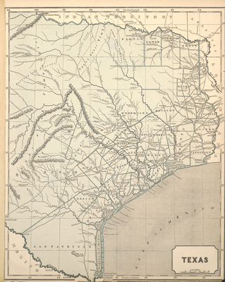
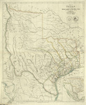
  • Map of Texas by John Arrowsmith

    Map of Texas

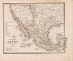
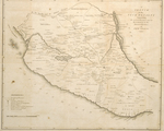
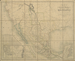
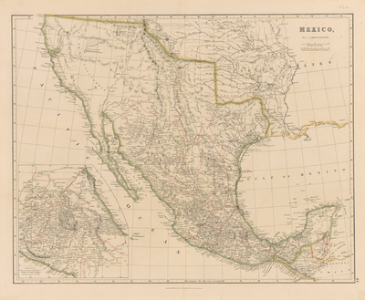
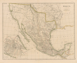
  • Mexico by John Arrowsmith

    Mexico

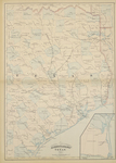
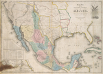
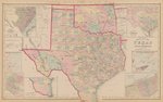
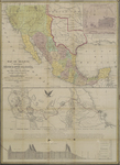
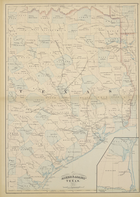
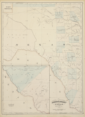
  • Asher & Adams’ Texas [Eastern Sheet] by Asher & Adams

    Asher & Adams’ Texas [Eastern Sheet]

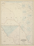
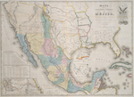
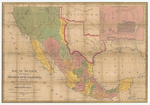
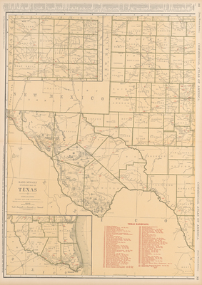
  • Asher & Adams’ Texas Western Portion by Asher & Adams

    Asher & Adams’ Texas Western Portion

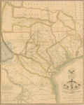
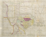
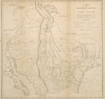
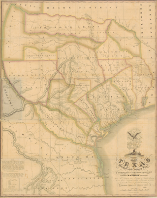
  • Map of Texas with Parts of the Adjoining States by Stephen F. Austin and Henry S. Tanner
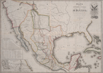
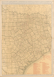
    Map of Texas with Parts of the Adjoining States

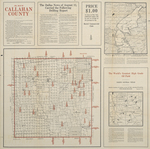
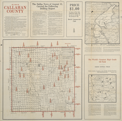
  • Oil Map of Callahan County by Baird Commercial Club

    Oil Map of Callahan County

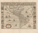
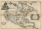
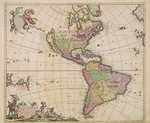
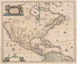
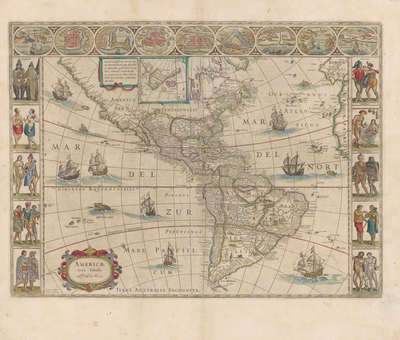
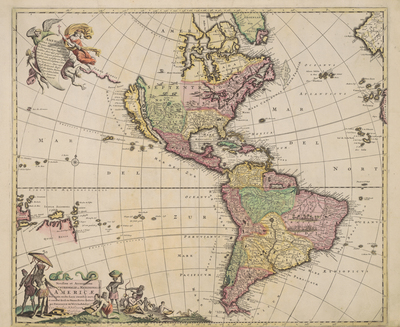
  • Americae Nova Tabula by Willem Jansz Blaeu and Juan Blaeu

    Americae Nova Tabula

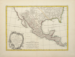
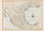
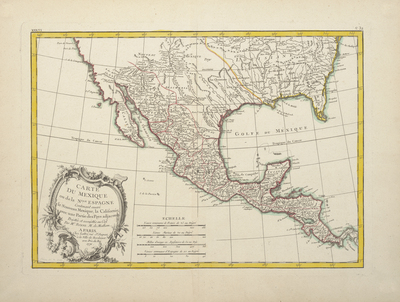
  • Carte du Mexique ou de la Nouvelle Espagne contenant aussi le Nouveau Mexique, la Californie, avec une partie des pays adjacents by Rigobert Bonne

    Carte du Mexique ou de la Nouvelle Espagne contenant aussi le Nouveau Mexique, la Californie, avec une partie des pays adjacents

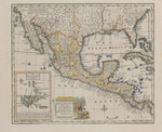
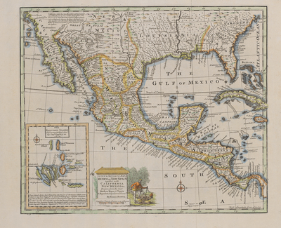
  • A New & Accurate Map of Mexico or New Spain together with California, New Mexico &c by Emanuel Bowen

    A New & Accurate Map of Mexico or New Spain together with California, New Mexico &c

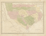
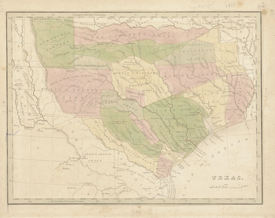
  • Texas by Thomas Gamaliel Bradford

    Texas

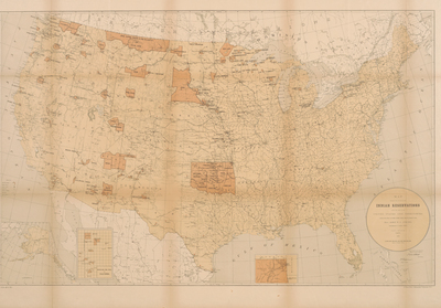
  • Map Showing the Location of the Indian Reservations within the Limits of the United States and Territories by Paul Brodie

    Map Showing the Location of the Indian Reservations within the Limits of the United States and Territories

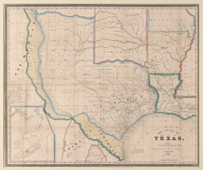
  • The State of Texas 1836-1845 by David H. Burr

    The State of Texas 1836-1845

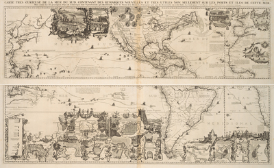
  • Carte Tres Curieuse De La Mer Du Sud by Henri Abraham Châtelain and Zacharie Châelain

    Carte Tres Curieuse De La Mer Du Sud

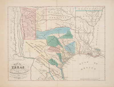
  • Map of Texas Shewing[sic] the Grants in Possession of the Colorado and Red River Land Comp[an]y by Colorado and Red River Land Company

    Map of Texas Shewing[sic] the Grants in Possession of the Colorado and Red River Land Comp[an]y

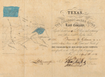
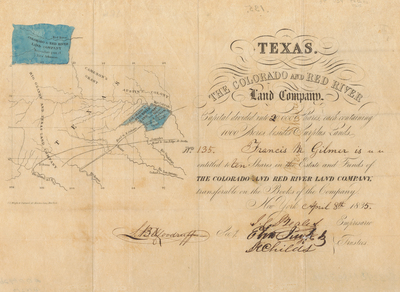
  • [Texas Stock Certificate for the Colorado and Red River Land Company] by Colorado and Red River Land Company

    [Texas Stock Certificate for the Colorado and Red River Land Company]

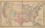
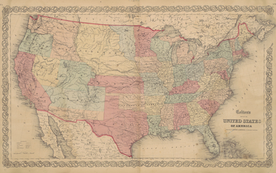
  • Colton's Map of the United States of America by J. H. Colton

    Colton's Map of the United States of America

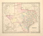
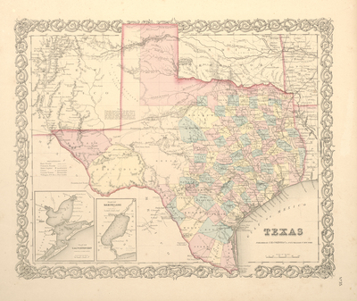
  • Texas by J. H. Colton

    Texas

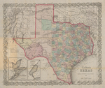
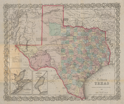
  • Colton's Texas by Joseph H. Colton

    Colton's Texas

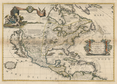
  • America Settentrionale Colle Nuove Scoperti fin all' Anno 1688 by Vincenzo Maria Coronelli

    America Settentrionale Colle Nuove Scoperti fin all' Anno 1688

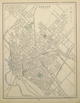
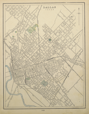
  • Dallas, Texas by George C. Cram

    Dallas, Texas

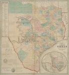
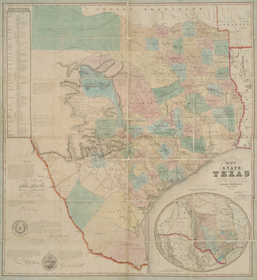
  • J. De Cordova's Map of the State of Texas by Robert Creuzbaur

    J. De Cordova's Map of the State of Texas

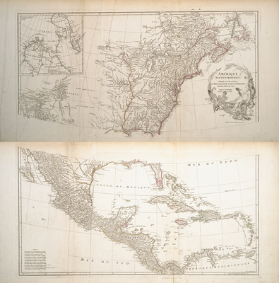
  • Amérique Septentrionale by Jean Baptiste Bourguignon d'Anville

    Amérique Septentrionale

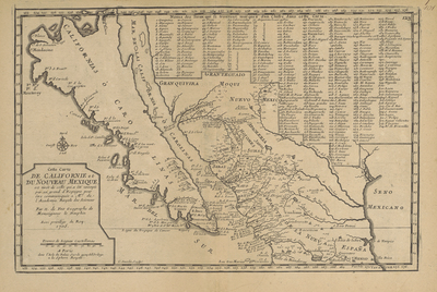
  • Cette carte de Californie et du Nouveau Mexique, est tirée de celle que a èté envoyée par un grand d'Espagne pour être communiquée a Mrs. de l'Academie Royale des Sciences by Nicolas de Fer

    Cette carte de Californie et du Nouveau Mexique, est tirée de celle que a èté envoyée par un grand d'Espagne pour être communiquée a Mrs. de l'Academie Royale des Sciences

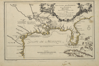
  • Les costes aux environs de la riviere de Misisipi: decouvertes par Mr. de la Salle en 1683 et reconnues par Mr. le Chevallier d'Iberville en 1698 et 1699 by Nicolas de Fer

    Les costes aux environs de la riviere de Misisipi: decouvertes par Mr. de la Salle en 1683 et reconnues par Mr. le Chevallier d'Iberville en 1698 et 1699

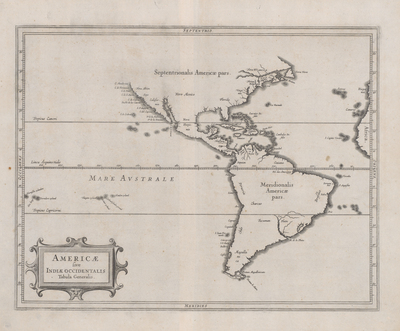
  • Americae sive Indiae Occidentalis Tabula Generalis by Johannes de Laet and Hessel Gerritsz

    Americae sive Indiae Occidentalis Tabula Generalis

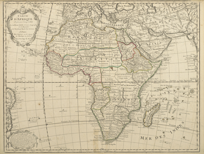
  • Carte d’Afrique, dressé pour l’usage du Roy by Guillaume Delisle

    Carte d’Afrique, dressé pour l’usage du Roy

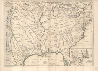
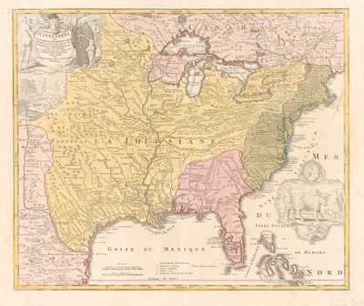
  • Carte de la Louisiane et du Cours du Mississipi by Guillaume Delisle

    Carte de la Louisiane et du Cours du Mississipi

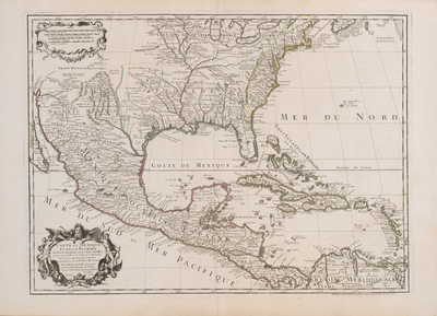
  • Carte du Mexique et de la Floride des Terres Angloises et des Isles Antilles: du Cours et des Environs de la Riviere de Mississipi by Guillaume Delisle

    Carte du Mexique et de la Floride des Terres Angloises et des Isles Antilles: du Cours et des Environs de la Riviere de Mississipi

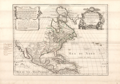
  • L'Amerique Septentrionale Dresee sur les Observations de Mrs. de L'Academie Royale des Science by Guillaume Delisle

    L'Amerique Septentrionale Dresee sur les Observations de Mrs. de L'Academie Royale des Science

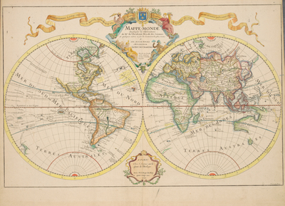
  • Mappe-Monde by Guillaume Delisle

    Mappe-Monde

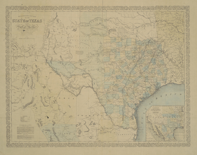
  • Richardson's New Map of the State of Texas Including Part of Mexico by Charles DeSilver

    Richardson's New Map of the State of Texas Including Part of Mexico

  • Novissima et accuratissima septentrionalis ac meridionalis Americae by Frederick de Wit

    Novissima et accuratissima septentrionalis ac meridionalis Americae

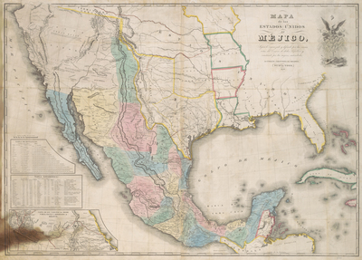
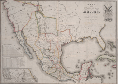
  • Mapa de los Estados Unidos de Mejico by J. Disturnell

    Mapa de los Estados Unidos de Mejico

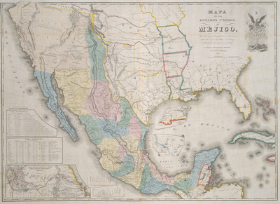
  • Mapa de los Estados Unidos de Mejico by John Disturnell

    Mapa de los Estados Unidos de Mejico

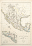
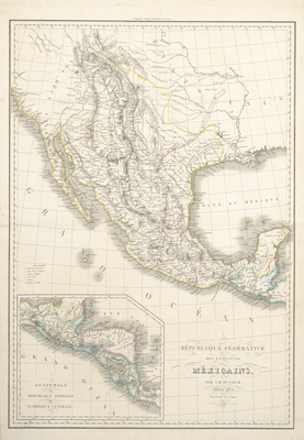
  • République Fédérative des États-Unis Mexicains by Auguste-Henri Dufour

    République Fédérative des États-Unis Mexicains

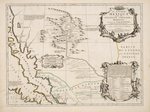
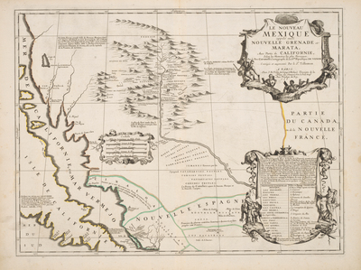
  • Le Nouveau Mexique appelé aussi Nouvelle Grenade et Marata, avec Partie de Californie by Jean-Nicolas du Tralage, Father Vincenzo Maria Coronelli, and Nicolas Guerard

    Le Nouveau Mexique appelé aussi Nouvelle Grenade et Marata, avec Partie de Californie

  • Map of Texas and the Countries Adjacent by William H. Emory

    Map of Texas and the Countries Adjacent

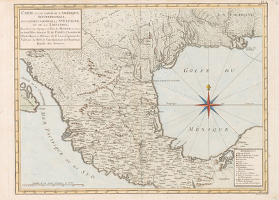
  • Carte d'une partie de l'Amérique Séptentrionale: qui contient partie de la Nle. Espagne, et de la Louisiane by Bernard Marie Francois, Pierre Marie Francois, and Vicomte de Pagès

    Carte d'une partie de l'Amérique Séptentrionale: qui contient partie de la Nle. Espagne, et de la Louisiane

  • Mapa de los Estados Unidos de Méjico… by Gallaher & White

    Mapa de los Estados Unidos de Méjico…

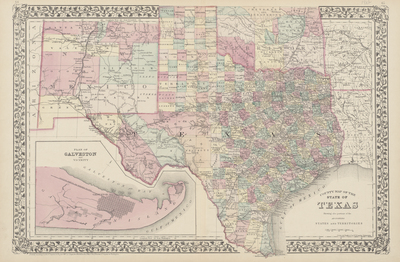
  • County Map of the State of Texas Showing also Portions of the Adjoining States and Territories by W. H. Gamble

    County Map of the State of Texas Showing also Portions of the Adjoining States and Territories

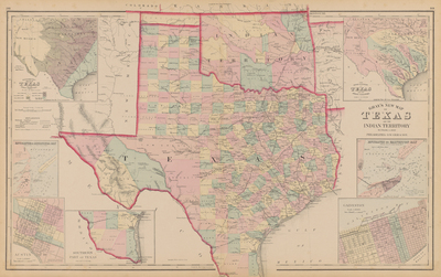
  • Gray's New Map of Texas and Indian Territory by Frank A. Gary

    Gray's New Map of Texas and Indian Territory

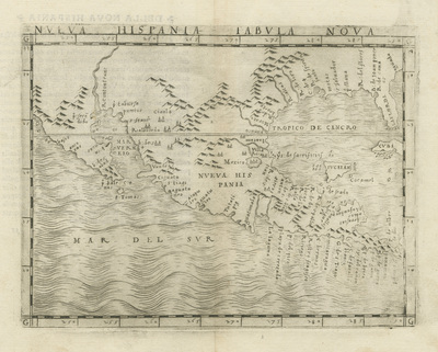
  • Nueva Hispania Tabula Nova by Giacomo Gastaldi

    Nueva Hispania Tabula Nova

  • [United States (after the Treaty of Guadalupe Hidalgo)] by E. Gilman

    [United States (after the Treaty of Guadalupe Hidalgo)]

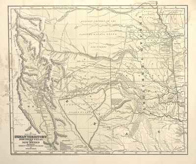
  • A Map of the Indian Territory, Northern Texas and New Mexico Showing the Great Western Prairies by Josiah Gregg

    A Map of the Indian Territory, Northern Texas and New Mexico Showing the Great Western Prairies

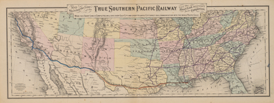
  • Map Showing the Line of the True Southern Pacific Railway and the Short Link necessary for its Completion by G.W. & C.B. Colton & Co

    Map Showing the Line of the True Southern Pacific Railway and the Short Link necessary for its Completion

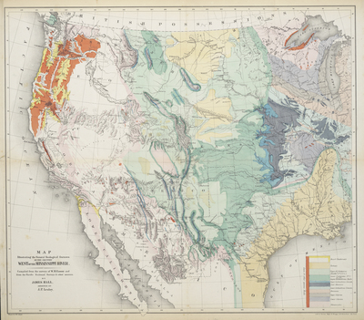
  • Map Illustrating the General Geological Features of the Country West of the Mississippi River by James Hall, j. Peter Lesile, and William H. Emory

    Map Illustrating the General Geological Features of the Country West of the Mississippi River

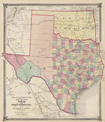
  • County Map of the State of Texas and Indian Territory by H.H. Lloyd & Co

    County Map of the State of Texas and Indian Territory

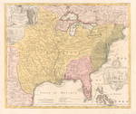
  • Amplißimae Regionis Mississippi seu Provinciae Ludovicianae a R. P. Ludovico Hennepin Francisc Miss in America Septentrionali anno 1687 detecte by Johann Baptist Homann

    Amplißimae Regionis Mississippi seu Provinciae Ludovicianae a R. P. Ludovico Hennepin Francisc Miss in America Septentrionali anno 1687 detecte

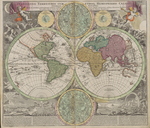
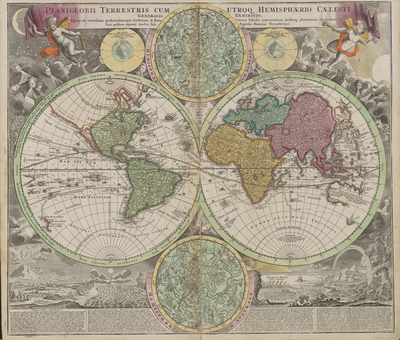
  • Planiglobii Terrestris Cumutroq Hemisphaerio Caelesti Generalis Exhibitio by Johann Baptist Homann

    Planiglobii Terrestris Cumutroq Hemisphaerio Caelesti Generalis Exhibitio

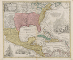
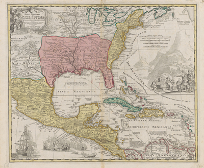
  • Regni Mexicani seu Novae Hispaniae, Ludovicianae, NAngliae, Carolinae, Virginiae, et Pensylvaniae, Necnou Insularvm Archipelagi Mexicani in America Septentrionali Accurta Tabula by Johann Baptist Homann

    Regni Mexicani seu Novae Hispaniae, Ludovicianae, NAngliae, Carolinae, Virginiae, et Pensylvaniae, Necnou Insularvm Archipelagi Mexicani in America Septentrionali Accurta Tabula

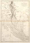
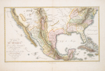
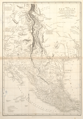
  • A Map of New Spain by Alexander von Hombolt

    A Map of New Spain

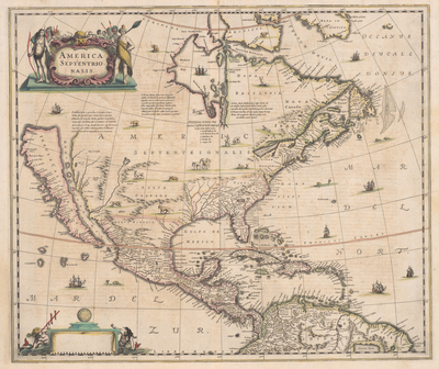
  • America Septentrionalis by Henrik Hondius and Jan Jansson

    America Septentrionalis

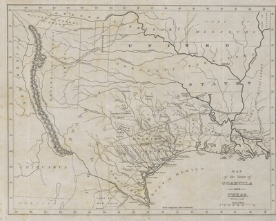
  • Map of the State of Coahuila and Texas by William Hooker

    Map of the State of Coahuila and Texas

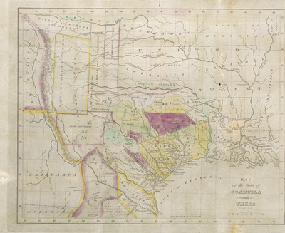
  • Map of the State of Coahuila and Texas by William Hooker

    Map of the State of Coahuila and Texas

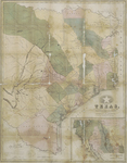
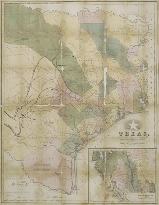
  • Map of Texas compiled from Surveys on Record in the General Land Office of the Republic by Richard S. Hunt and Jesse F. Randel

    Map of Texas compiled from Surveys on Record in the General Land Office of the Republic

  • Map of Texas, compiled from Surveys on Record in the General Land Office of the Republic of Texas by Richard S. Hunt and Jesse F. Randel

    Map of Texas, compiled from Surveys on Record in the General Land Office of the Republic of Texas

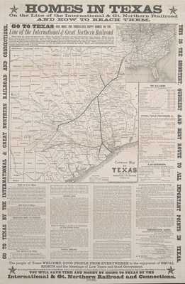
  • Correct Map of Texas by International & Great Northern Railroad

    Correct Map of Texas

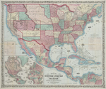
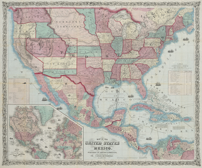
  • Map of the United States and Mexico by Johnson & Browning and Charles Butterfield

    Map of the United States and Mexico

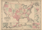
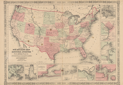
  • Johnson's New Military Map of the United States showing Forts, Military Posts, & etc by Johnson & Ward

    Johnson's New Military Map of the United States showing Forts, Military Posts, & etc

  • Reconnoissances [sic] of routes from San Antonio De Bexar to El Paso Del Norte, & cc by Joseph E. Johnston, W. F. Smith, and F. T. Bryan

    Reconnoissances [sic] of routes from San Antonio De Bexar to El Paso Del Norte, & cc

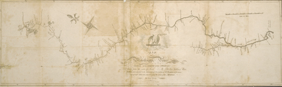
  • Map of the Mississippi River, From Its Source to the Mouth of the Missouri by Nicholas King, Zebulon Montgomery Pike, and Anthony Nau

    Map of the Mississippi River, From Its Source to the Mouth of the Missouri

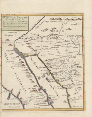
  • Passage Par Terre A La Californie by Father Eusebius Francis Kino

    Passage Par Terre A La Californie

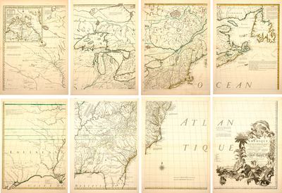
  • Amerique Septentrionale avec les Routes, Distances en miles, Villages et Etablissements François et Anglois by George- Louis Le Rouge

    Amerique Septentrionale avec les Routes, Distances en miles, Villages et Etablissements François et Anglois

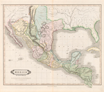
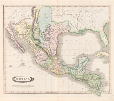
  • Mexico & Guatimala by Daniel Lizars II

    Mexico & Guatimala

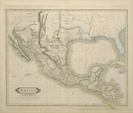
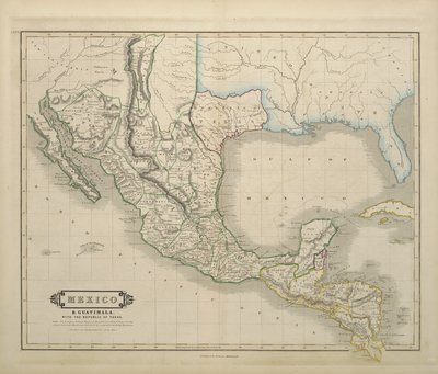
  • Mexico & Guatimala [sic] by William Home Lizars

    Mexico & Guatimala [sic]

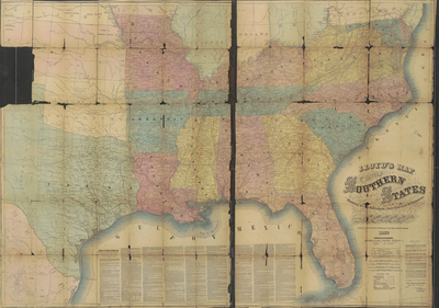
  • Lloyd's Map of the Southern States Showing All the Railroads, their Stations and Distances by James T. Llyod

    Lloyd's Map of the Southern States Showing All the Railroads, their Stations and Distances

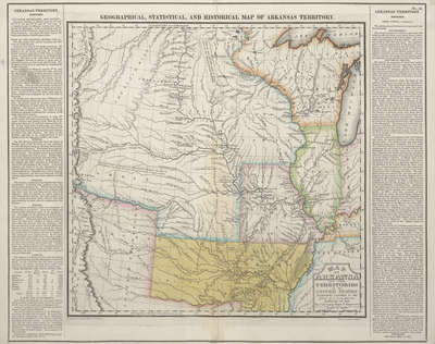
  • Geographical, Statistical and Historical Map of Arkansas Territory by Stephen H. Long

    Geographical, Statistical and Historical Map of Arkansas Territory

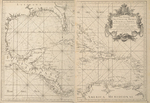
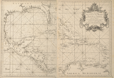
  • Mapa maritimo del Golfo de Mexico e islas de la America by Thomas López y Vargas Machuca and Juan de la Cruz Cano y Olmedilla

    Mapa maritimo del Golfo de Mexico e islas de la America

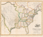
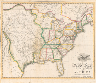
  • United States of America Compiled from the Latest and Best Authorities by John Melish

    United States of America Compiled from the Latest and Best Authorities

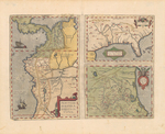
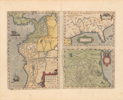
  • Peruviae Auriferae Regionis Typus,La Florida,Guastecan by Diego Mendez and Geronimo Chaves

    Peruviae Auriferae Regionis Typus,La Florida,Guastecan

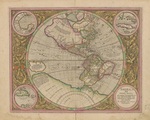
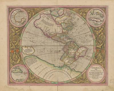
  • America Sive India Nova by Michael Mercator

    America Sive India Nova

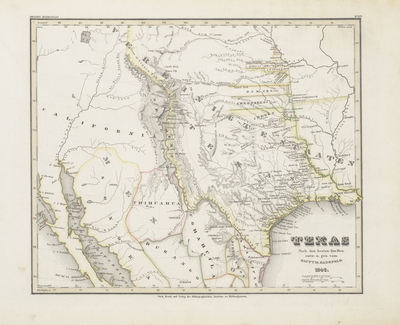
  • Texas nach den besten Quellen by Joseph Meyer and Captian Carl Christan Franz Radefeld

    Texas nach den besten Quellen

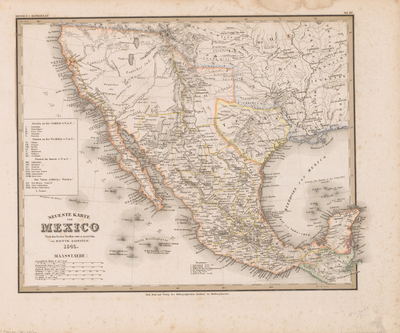
  • Neueste Karte von Mexico by Joseph Meyer and Captian Carl Christian Franz Readefeld

    Neueste Karte von Mexico

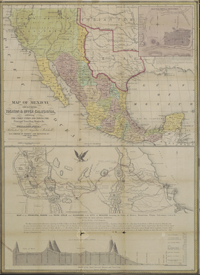
  • Map of Mexico Including Yucatan & Upper California Exhibiting by Samuel Augustus Mitchell

    Map of Mexico Including Yucatan & Upper California Exhibiting

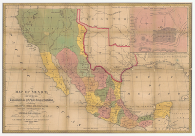
  • Map of Mexico Including Yucatan & Upper California Exhibiting the Chief Cities and Towns by Samuel Augustus Mitchell

    Map of Mexico Including Yucatan & Upper California Exhibiting the Chief Cities and Towns

  • Texas by Sidney E. Morse and Samuel Bresse

    Texas

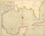
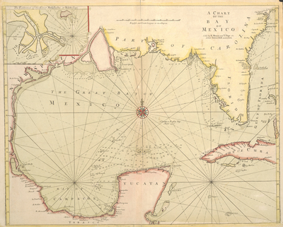
  • A Chart of the Bay of Mexico by Richard Mount and Thomas Page I

    A Chart of the Bay of Mexico

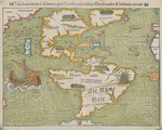
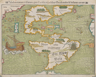
  • Tabula Novarum Insularum, quas Diversisi Respectibus Occidentales & Indians Vocant by Sebastian Münster

    Tabula Novarum Insularum, quas Diversisi Respectibus Occidentales & Indians Vocant

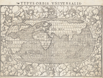
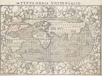
  • Typus Orbis Universalis by Sebastian Münster

    Typus Orbis Universalis

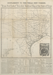
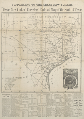
  • "Texas New Yorker" Travelers' Railroad Map of the State of Texas by Thomas Nast

    "Texas New Yorker" Travelers' Railroad Map of the State of Texas

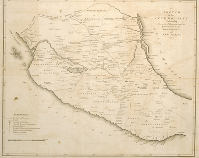
  • A Sketch of the Vice Royalty Exhibiting the several Provinces and its Aproximation [sic] to the Internal Provinces of New Spain by Anthony Nau

    A Sketch of the Vice Royalty Exhibiting the several Provinces and its Aproximation [sic] to the Internal Provinces of New Spain

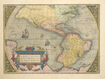
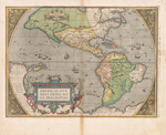
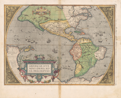
  • America Sive Novi Orbis by Abraham Ortelius

    America Sive Novi Orbis

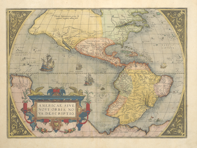
  • America Sive Novi Orbis by Abraham Ortelius

    America Sive Novi Orbis

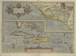
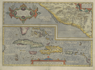
  • Culiacanae, Americae regionis, descriptio [and] Hispaniolae, Cubae, aliarumque insularum circumiacientium, delineatio by Abraham Ortelius

    Culiacanae, Americae regionis, descriptio [and] Hispaniolae, Cubae, aliarumque insularum circumiacientium, delineatio

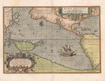
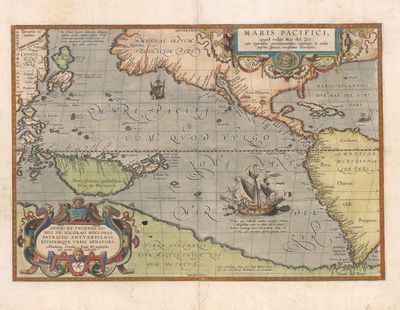
  • Maris Pacifici by Abraham Ortelius

    Maris Pacifici

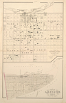
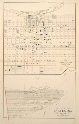
  • City of Galveston, Texas by O. W. Gary & Son

    City of Galveston, Texas

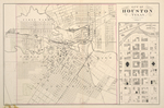
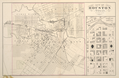
  • City of Houston by O. W. Gary & Son

    City of Houston

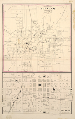
  • Gray's New Map of Brenham, Washington Co., Texas by O. W. Gary & Son

    Gray's New Map of Brenham, Washington Co., Texas

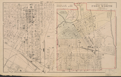
  • Gray's New Map of Fort Worth, Texas, 1885 by O. W. Gary & Son

    Gray's New Map of Fort Worth, Texas, 1885

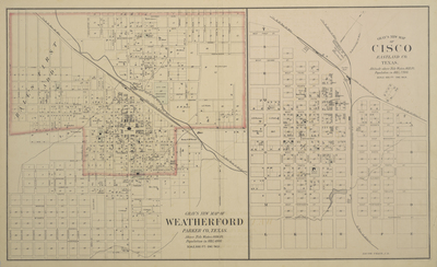
  • Gray's New Map of Weatherford, Parker Co., Texas by O. W. Gary & Son

    Gray's New Map of Weatherford, Parker Co., Texas

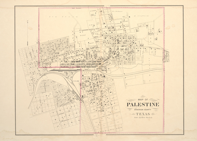
  • Map of Palestine, Anderson County, Texas by O. W. Gary & Son

    Map of Palestine, Anderson County, Texas

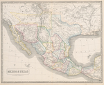
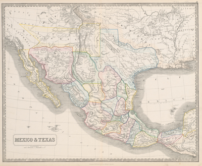
  • Mexico & Texas by George Phillips

    Mexico & Texas

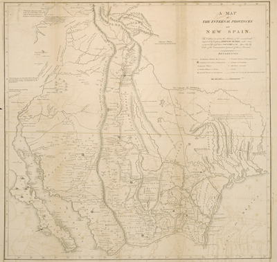
  • A Map of the Internal Provinces of New Spain by Zebulon Montgomery Pike

    A Map of the Internal Provinces of New Spain

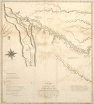
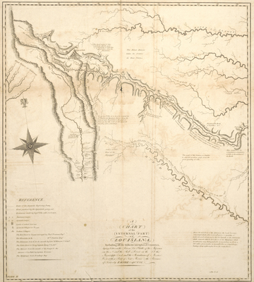
  • A Chart of the Internal Part of Louisiana, Including All the Hitherto Unexplored Countries by Zebulon Pike and Anthony Nau

    A Chart of the Internal Part of Louisiana, Including All the Hitherto Unexplored Countries

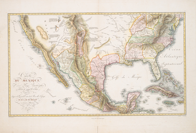
  • Carte du Mexique et pays limitrophes situés au nord à l'est by J. B. Poirson and Alexander von Humboldt

    Carte du Mexique et pays limitrophes situés au nord à l'est

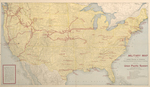
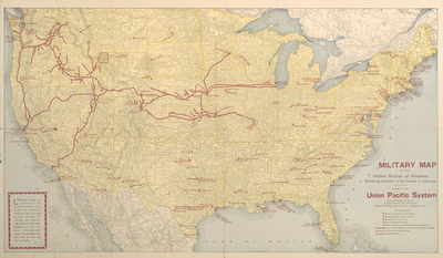
  • Military Map of the United States of America Showing Location of All Forces in Training by Poole Bros.

    Military Map of the United States of America Showing Location of All Forces in Training

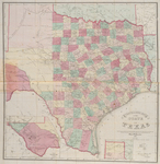
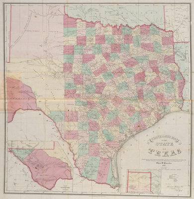
  • Traveller's Map of the State of Texas, 1867 by Charles W. Pressler

    Traveller's Map of the State of Texas, 1867

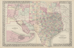
  • Map of Texas by Rand McNally & Co

    Map of Texas

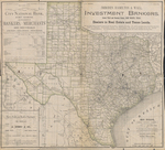
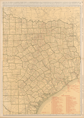
  • Rand McNally Standard Map of Texas [sheet 1] by Rand McNally & Co

    Rand McNally Standard Map of Texas [sheet 1]

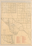
  • Rand McNally Standard Map of Texas [sheet 2] by Rand McNally & Co

    Rand McNally Standard Map of Texas [sheet 2]

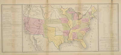
  • Rand McNally Standard Map of the United States by Rand McNally & Co

    Rand McNally Standard Map of the United States

  • Richardson's New Map of Texas including Part of Mexico by C. S. Richardson

    Richardson's New Map of Texas including Part of Mexico

  • Topographisch-geognostische Karte von Texas by Ferdinand Von Roemer

    Topographisch-geognostische Karte von Texas

  • New Map of Texas Prepared and Published for the Bureau of Immigration of the State of Texas by A. R. Roessier

    New Map of Texas Prepared and Published for the Bureau of Immigration of the State of Texas

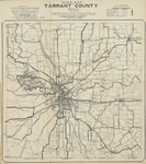
  • Road Map of Tarrant County by C. H. Rogers

    Road Map of Tarrant County

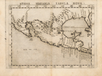
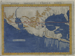
  • Nueva Hispania Tabula Nova by Girolamo Ruscelli

    Nueva Hispania Tabula Nova

  • Nueva Hispania Tabula Nova by Girolamo Ruscelli

    Nueva Hispania Tabula Nova

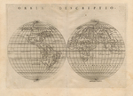
  • Orbis Descriptio by Girolamo Ruscelli

    Orbis Descriptio

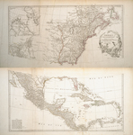
  • An Accurate Map of North America Describing and distinguishing the British and Spanish Dominions of this great Continent According to the Definitive Treaty by Robert Sayer

    An Accurate Map of North America Describing and distinguishing the British and Spanish Dominions of this great Continent According to the Definitive Treaty

  • Secunda etas mundi secunda etas müdi by Hartmann Schedel

    Secunda etas mundi secunda etas müdi

  • A Map of Louisiana and of the River Mississipi by John Senex

    A Map of Louisiana and of the River Mississipi

  • North America: corrected from the observations communicated to the Royal Society at London, and the Royal Academy at Paris by John Senex, Charles Price, and John Maxwell

    North America: corrected from the observations communicated to the Royal Society at London, and the Royal Academy at Paris

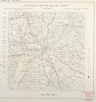
  • Geological Map of Dallas County by Ellis W. Shuler

    Geological Map of Dallas County

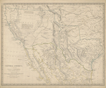
  • Central America II. Including Texas, California and the Northern States of Mexico by Society for the Diffusion of Useful Knowledge

    Central America II. Including Texas, California and the Northern States of Mexico

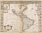
  • America by John Speed

    America

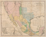
  • A Map of the United States of Mexico by H. S. Tanner

    A Map of the United States of Mexico

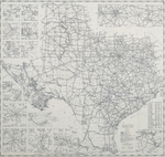
  • Official Map by Texas Highway Department

    Official Map

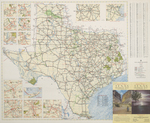
  • Texas Highway Map Compiled and drawn by R. M. Stene by Texas Highway Department

    Texas Highway Map Compiled and drawn by R. M. Stene

  • True and Correct Plot of the Town of Arlington as Surveyed Off by the Texas & Pacific Railway Company by Texas & Pacific Railway Company

    True and Correct Plot of the Town of Arlington as Surveyed Off by the Texas & Pacific Railway Company

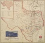
  • Sectional Map of Texas Traversed by the Missouri, Kansas & Texas Railway, Showing the crops adapted to each section, with the elevation and annual rainfall by The Missouri, Kansas, and Texas Railway

    Sectional Map of Texas Traversed by the Missouri, Kansas & Texas Railway, Showing the crops adapted to each section, with the elevation and annual rainfall

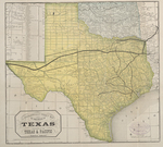
  • A Geographically Correct Map of the State of Texas by The Texas and Pacfiic Railway

    A Geographically Correct Map of the State of Texas

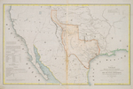
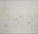
  • Map of Texas and Part of New Mexico by United States Army Bureau of Topogrpahic Engineers

    Map of Texas and Part of New Mexico

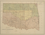
  • Indian Territory by United States Department of the Interior

    Indian Territory

  • Mapa de los Estados Unidos Mejicanos arreglado à la distribución que en diversos decretos ha hecho del territorio el Congreso General Mejicano by Unknown

    Mapa de los Estados Unidos Mejicanos arreglado à la distribución que en diversos decretos ha hecho del territorio el Congreso General Mejicano

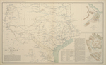
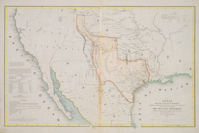
  • Map of Texas and Part of New Mexico compiled in the Bureau of Topographical Engineers for Military Purposes by U.S. Army Topogrpahical Engineers

    Map of Texas and Part of New Mexico compiled in the Bureau of Topographical Engineers for Military Purposes

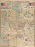
  • H.H. Lloyd & Co's Campaign Military Charts Showing the Principal Strategic Places of Interest by Egbert L. Viele and Charles Haskins

    H.H. Lloyd & Co's Campaign Military Charts Showing the Principal Strategic Places of Interest

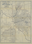
  • Map and Guide, Dallas & Suburbs by Weichsel & Co

    Map and Guide, Dallas & Suburbs

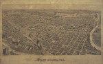
  • Perspective Map of Fort Worth, Tex by Henry Wellge

    Perspective Map of Fort Worth, Tex

  • San Antonio Bird's Eye View Map of San Antonio, Texas, December 1891 by Henry Wellge

    San Antonio Bird's Eye View Map of San Antonio, Texas, December 1891

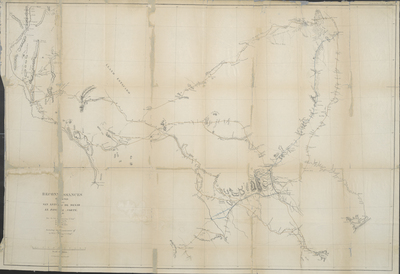
  • Sketch Indicating the Advancement of the Surveys of the Public Lands and the Military, Topographical and Geographical Surveys West of the Mississippi by George M. Wheeler

    Sketch Indicating the Advancement of the Surveys of the Public Lands and the Military, Topographical and Geographical Surveys West of the Mississippi

  • Williams' New Trans-Continental Map of the Pacific R.R. and Routes of Overland Travel to Colorado, Nebraska, The Black Hills, Utah, Idaho, Nevada, Montana, California and the Pacific Coast by H. T. Williams

    Williams' New Trans-Continental Map of the Pacific R.R. and Routes of Overland Travel to Colorado, Nebraska, The Black Hills, Utah, Idaho, Nevada, Montana, California and the Pacific Coast

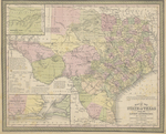
  • A Geographically Correct County Map of the States Traversed by the St. Louis, Iron Mountain and Southern Railway and its Connections by Woodward, Tiernan & Hale

    A Geographically Correct County Map of the States Traversed by the St. Louis, Iron Mountain and Southern Railway and its Connections

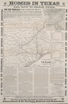
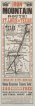
  • Iron Mountain Route! St. Louis to Texas! Map of the Texas Short Line: St. Louis, Iron Mountain & Southern, Texas & Pacific and International & Great Northern Railways by Woodward, Tiernan & Hale

    Iron Mountain Route! St. Louis to Texas! Map of the Texas Short Line: St. Louis, Iron Mountain & Southern, Texas & Pacific and International & Great Northern Railways

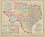
  • Map of the State of Texas from the Latest Authorities by J. H. Young

    Map of the State of Texas from the Latest Authorities

  • Map of the State of Texas from the Latest Authorities by J. H. Young

    Map of the State of Texas from the Latest Authorities

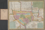
  • New Map of Texas with the Contiguous American & Mexican States by J. H. Young and Augustus Mitchell

    New Map of Texas with the Contiguous American & Mexican States

  • Plano de la Nueva España: by Antonio de Akzante y Ramirez

    Plano de la Nueva España:


Search

Advanced Search

  • Notify me via email or RSS

Browse

  • All Resources
  • Disciplines
  • Creators
  • UTA Libraries Events

Author & Creator Corner

  • Author & Creator FAQs

Contact the MavMatrix Accessibility Coordinator if you require an accessible and/or alternative version of the file available with any item.

 
Elsevier - Digital Commons

Home | About | FAQ | My Account | Accessibility Statement

Privacy Copyright

© 2023 The University of Texas at Arlington