


Preview
Identifier
20086254
Description
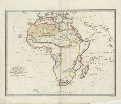
Colored, educational, children's map of Africa with its surrounding islands. Various regions are depicted in different colors. Some physical features engraved, include mountain ranges and rivers, some towns and cities. Surrounding regions of Arabia and Mediterranean are included. Hachures are printed along coast(s) of Africa. Title located at bottom left. Border surrounding map includes scale. Publisher information located within bottom margin. Double paged, single sided, horizontal map of Africa. Bound on verso at centrefold. Fold of centrefold binding visible on recto, below publisher information. 34 cm. x 42 cm. [Gift of Dr. Jack Franke]
Archival Date
1823
Collection Name
Maps of Africa
Collection Number
Acc. 2019-307
Language
English
Original Format
Maps
File Format
JPG
Rights
Rights held by The University of Texas at Arlington Libraries, Special Collections. Any use of content downloaded or printed from this page is limited to non-commercial personal or educational use, including fair use as directed by U.S. copyright laws. For more information or for reproduction requests, please contact UTA Special Collections by emailing spcoref@uta.edu.
License

This work is licensed under a Creative Commons Attribution-NonCommercial 4.0 International License
Subjects
Maps; Children's maps; Africa; Islands; Oceans