


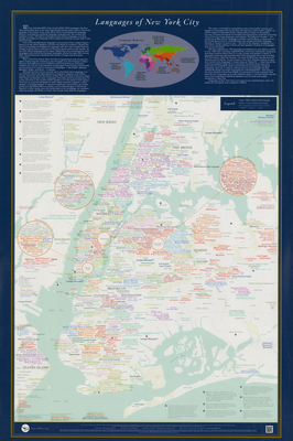
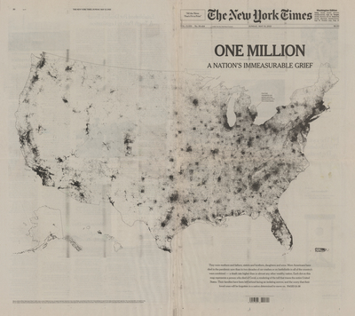
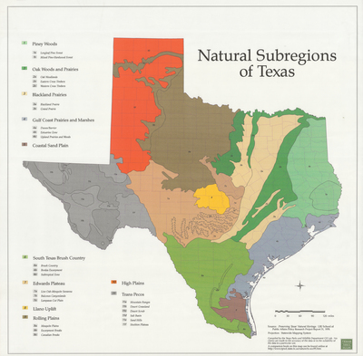
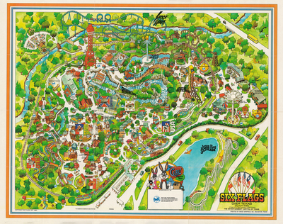
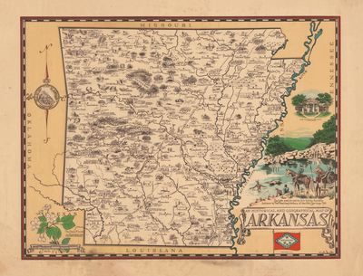
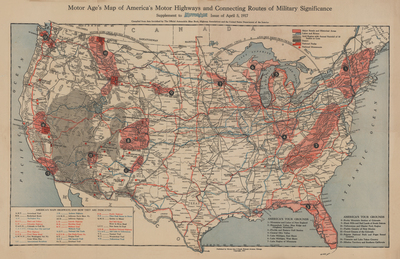
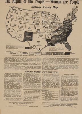
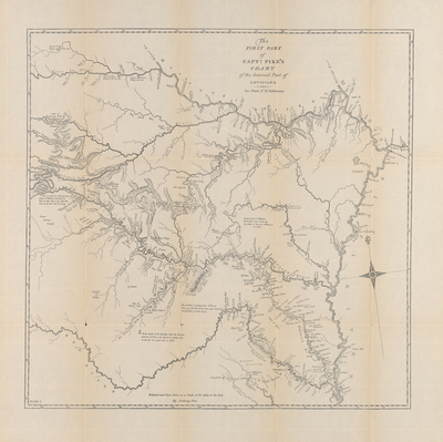
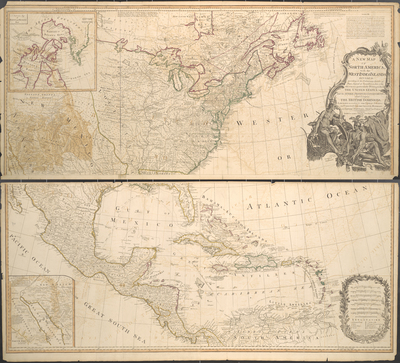
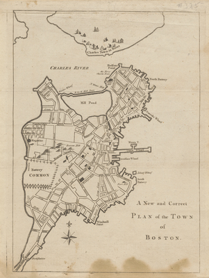
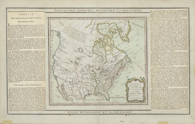
To celebrate America’s 250th anniversary, UTA Libraries Special Collections and Archives joins the UTA Department of History and Geography in creating this digital exhibit exploring changing American ideals, identities, and journeys through maps. A mix of UTA students, faculty, staff, donors, and history enthusiasts curated Mapping a Nation: 250 Years of American Cartography, with each contributor selecting one map to represent a decade of American history. Spanning from the 1770s to the 2020s, this digital exhibit invites visitors to explore how maps trace American history and reveal American experiences from the past 250 years.
Printing is not supported at the primary Gallery Thumbnail page. Please first navigate to a specific Image before printing.


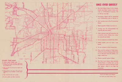
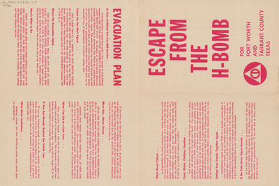
![Escape from the H-Bomb for Fort Worth and Tarrant County Texas [verso] by Office of Civil Defense](https://mavmatrix.uta.edu/specialcollections_mappinganation/1020/thumbnail.jpg "Escape from the H-Bomb for Fort Worth and Tarrant County Texas [verso] by Office of Civil Defense")


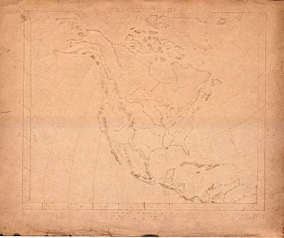
![[Braille Map of North America] by M. Kunz & Illzach](https://mavmatrix.uta.edu/specialcollections_mappinganation/1013/thumbnail.jpg "[Braille Map of North America] by M. Kunz & Illzach")


